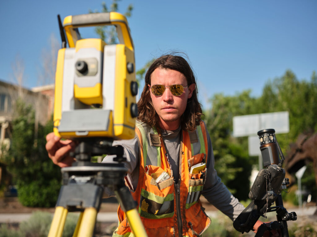
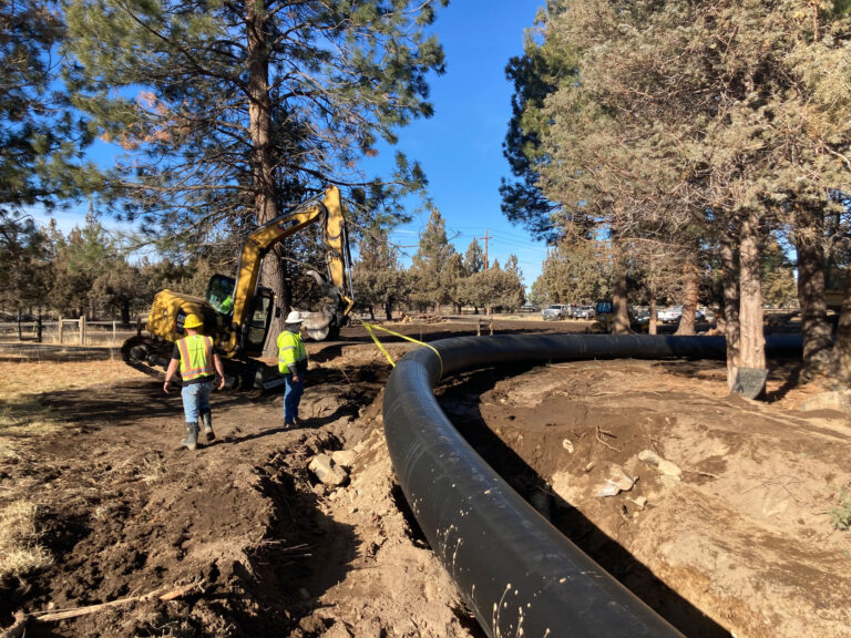
At Parametrix, our surveyors and geographic information specialists help interpret, transform, and display data so that we can visualize the future. Our teams embrace new technologies and perspectives to help clients make sense of large volumes of data through visualization and analysis. We offer value-added services, including unmanned aerial systems (UAS) or drones, building information modeling (BIM), digital twins, web maps, dashboards, 3D laser scanning, and asset management systems to help you make decisions and manage your facilities.
Parametrix uses cookies to personalize and improve your user experience. If you continue to use this website, you will be providing consent to our use of cookies.Privacy Policy