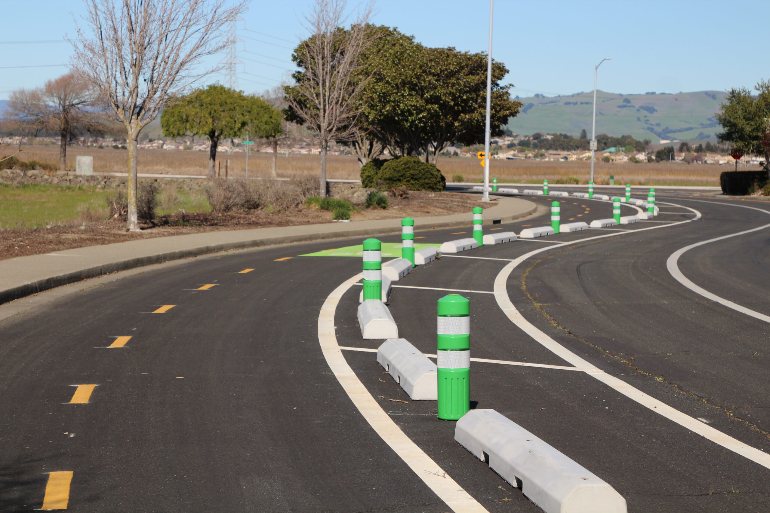
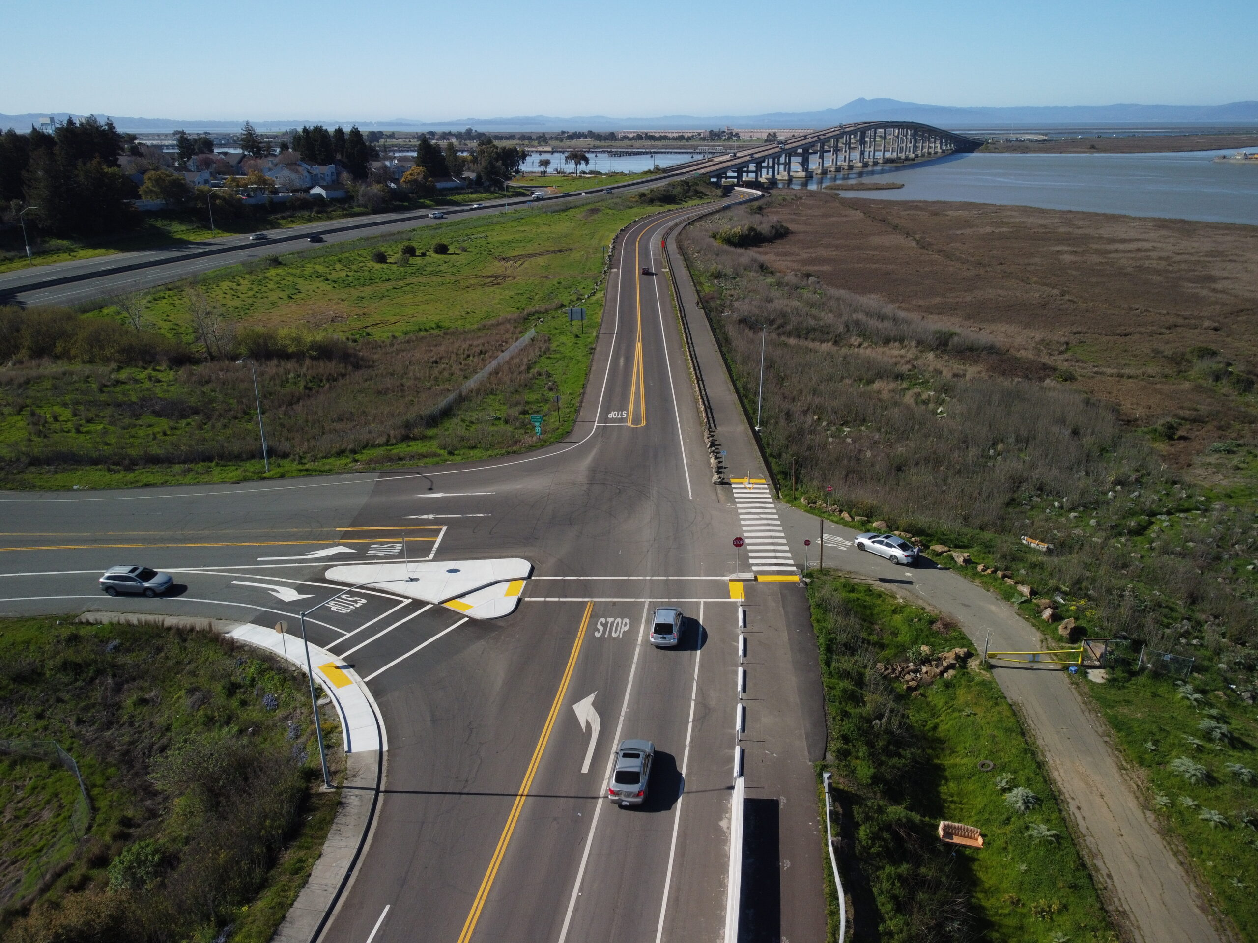
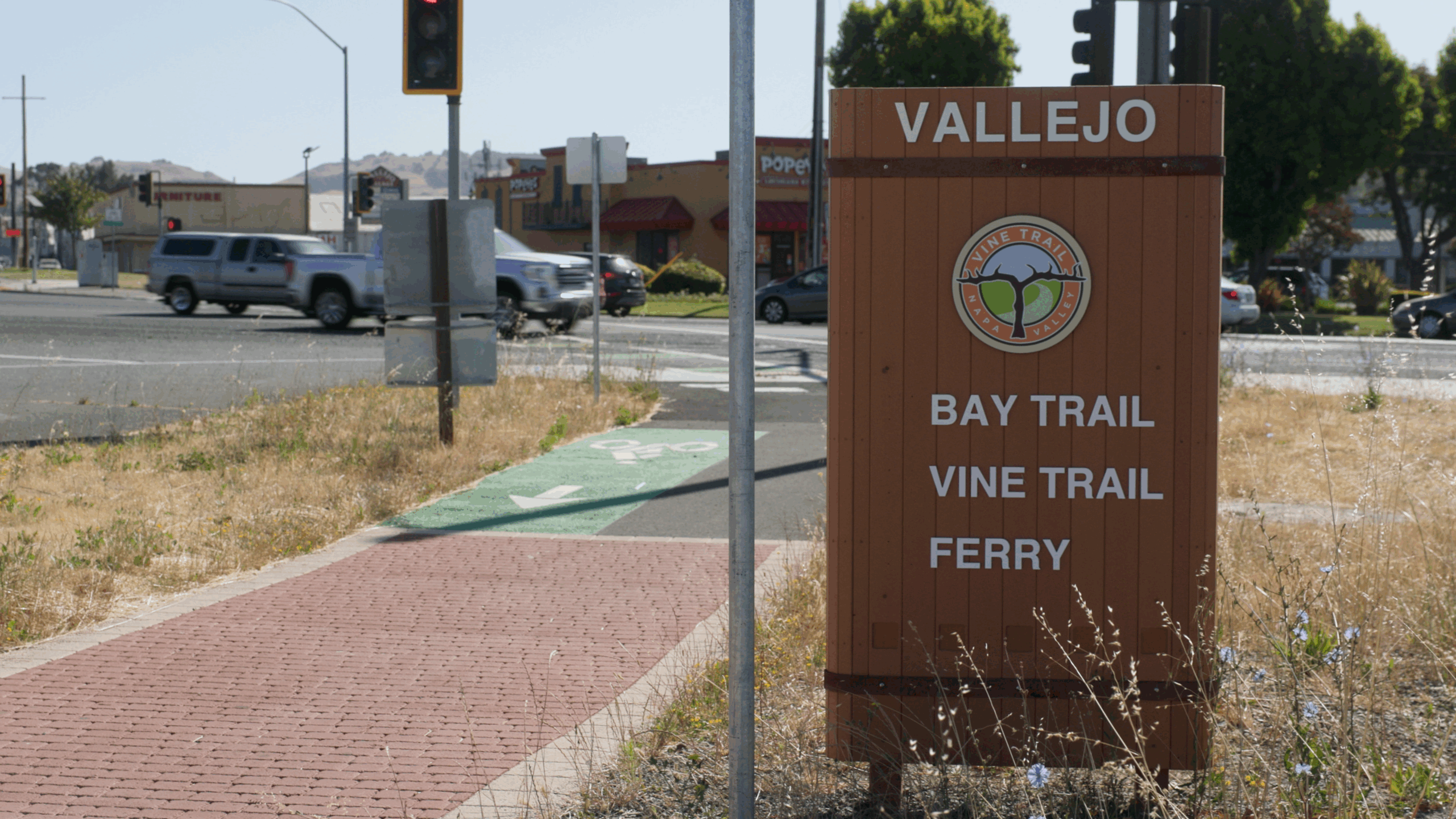
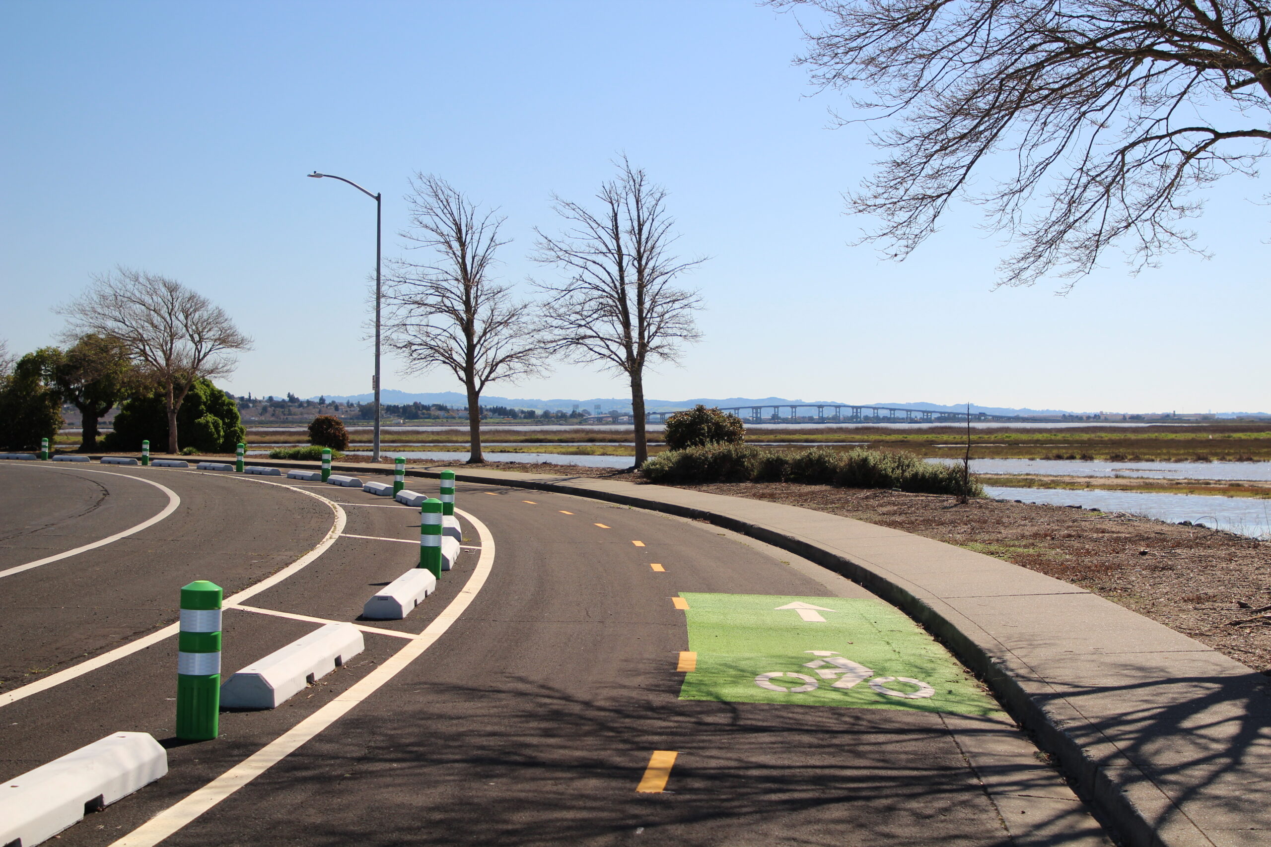
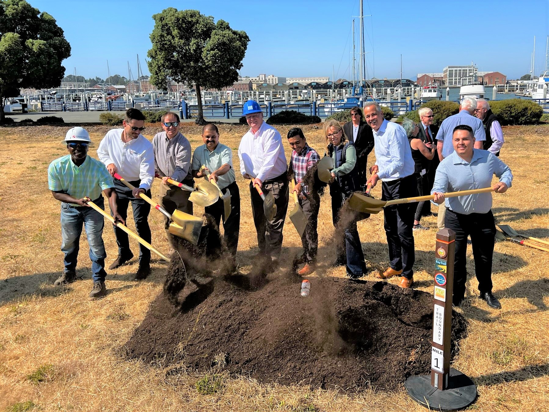
The Napa Valley Vine Trail, part of the larger San Francisco Bay Trail-Napa Valley Vine Trail network, is a 47-mile route connecting the Vallejo Ferry Terminal to Calistoga, California. The trail features separated two-way and directional bicycle facilities, shared-use pathways, protected intersections, interpretive signage, and shelters. The paths provide safe, attractive routes to travel between residences, workplaces, commercial centers, and schools.
Parametrix provided preliminary and final design for 5.5 miles of the trail in Vallejo, in addition to community outreach and coordination with multiple jurisdictions and sub-consultants. The trail traverses eight roadways, including two state highways. The Parametrix team designed:
- 5,500 linear feet of Class I facilities (shared-use paths)
- 2,200 linear feet of buffered Class II facilities (buffered bicycle lanes)
- 13,100 linear feet of Class IV facilities (separated bikeways)
Modifications to multiple intersections provide protected, comfortable facilities for pedestrians, bicyclists, and other trail users.
The project is a collaboration between the City of Vallejo, Solano Transportation Authority Napa Valley Vine Trail Coalition, Napa Valley Transportation Authority, Metropolitan Transportation Commission, Association of Bay Area Governments, California Active Transportation Program, Bay Area Air Quality Management District, California Climate Investments, and Caltrans.