By Zach Troncoso
A network of irrigation facilities, called acequias, crisscross the inner Rio Grande Valley in New Mexico. Originally constructed to irrigate farmlands and lower groundwater, these water conveyance systems were, and continue to be, a defining characteristic of the Valley.
As the Albuquerque area grew, most of the farmlands were replaced by low-density residential development with boundaries defined by the acequia and ditch system. The narrow maintenance roads that parallel the drainage and irrigation facilities became informal travel corridors used by pedestrians, bicyclists, and equestrians. Local governments began to formalize the trail system and establish a network of improved trails to connect with the broader regional trail system.
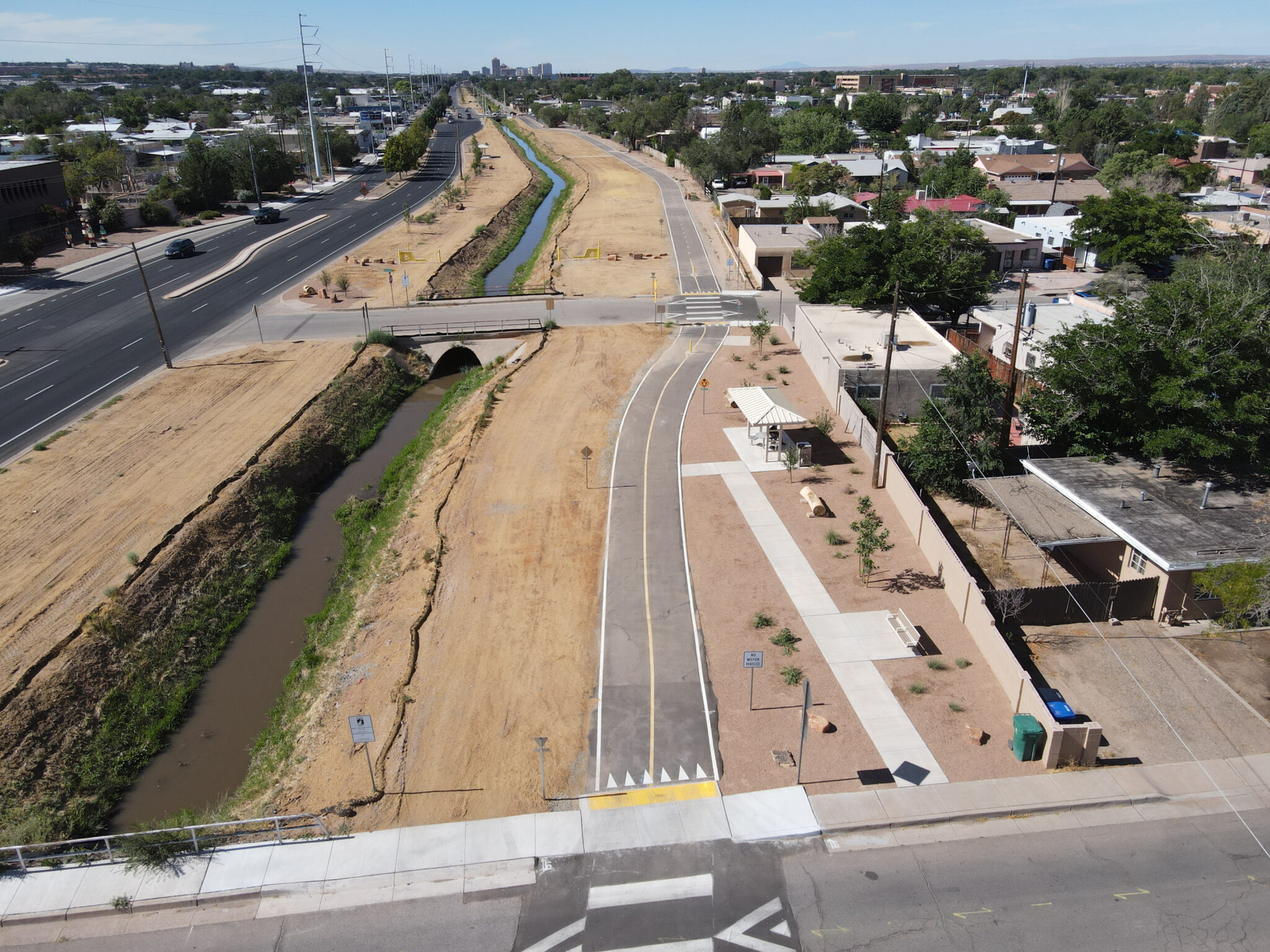
The Alameda Drain & Trail Master Plan was developed to provide the framework for improvements along a nine-mile corridor from Interstate 40 to the northern end of 2nd Street in the Albuquerque metropolitan area.
In 2015, Parametrix was selected through a competitive proposal process to support the City of Albuquerque and Bernalillo County in developing an overall master plan to guide subsequent design and construction. Parametrix led the master plan and has now designed four phases of the overall six-phase plan. Three phases of construction are complete, which includes 4.5 miles of trail from 4th Street to Paseo Del Norte.
Because the trail system crosses several jurisdictions and is managed by multiple agencies, the local governments involved recognized the need for a collaborative, intergovernmental approach to planning, design, and implementation. The result was a five-party agreement between Bernalillo County, City of Albuquerque, Middle Rio Grande Conservancy District (MRGCD), Albuquerque Metropolitan Flood Control Authority (AMAFCA), and the New Mexico Department of Transportation (NMDOT). The agencies have a shared purpose to enhance the historic drainage way by creating a shared-use path that works in conjunction with the drain and provides a cohesive and aesthetic corridor.
The following guiding principles were established for the project:
-
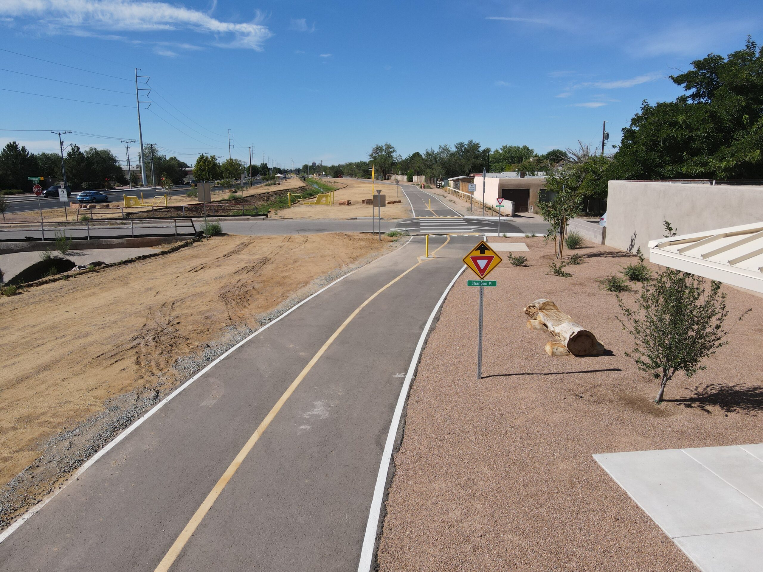
- Create a multi-use, paved recreational trail that parallels the Alameda Drain.
- Create landscape improvements that reduce invasive/noxious weeds and MRGCD maintenance and enhance aesthetics and native and desired vegetation.
- Create amenities in association with the trail, including trailheads, rest areas, linear parks, and art.
- Build street crossings that accommodate trail users and motorists.
- Improve water quality.
- Institute a cohesive signage system.
- Create community gathering places.
- Promote healthy lifestyles and increase physical activity.
The Master Plan developed a typical section for a twelve-foot-wide paved trail with two-foot shoulders on each side. In addition to the paved trail, a secondary, unpaved trail is proposed in specific areas on the opposite side of the drain.
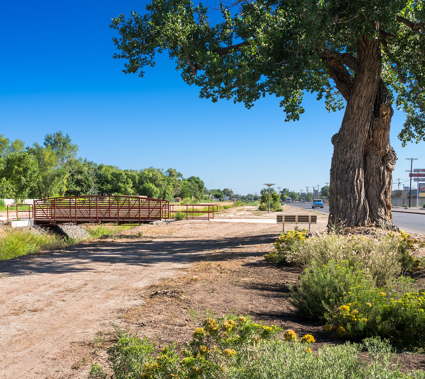
Pedestrian bridge over the drain
The master plan included accompanying amenities to enhance not only the trail but also the water quality within the drain, including:
-
- Trailheads with parking areas
- Rest areas for trail users
- Water features to improve function of outfalls, intercept debris, and aerate water
- Landscaping that reduces ongoing maintenance by removing invasive weeds, filtering stormwater, creating shade, and visual elements.
- Various art features
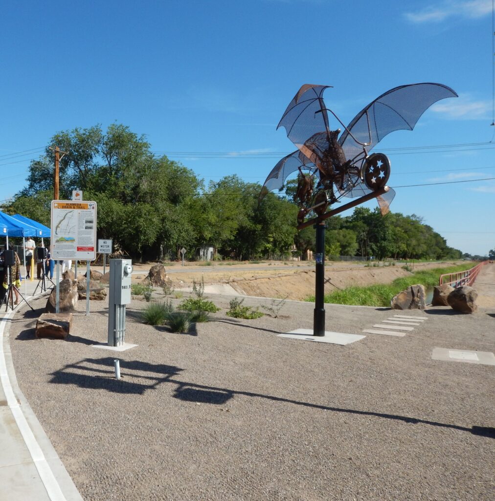
An art feature along the trail
Public involvement was another key to this project’s success. A steering committee representing all five participating agencies helped to guide the planning process and coordinated workshops, field tours, and public forums to build consensus and gain public input on design features.
The Alameda Drain Trail project provides a trail system that supports the growing active transportation community in the Albuquerque region, connecting to other trails and pedestrian routes. The project has resulted in a carefully planned and constructed corridor that preserves much of the history of its setting, resembles the community in which it was built, and provides sustainable and environmentally responsible transportation.
