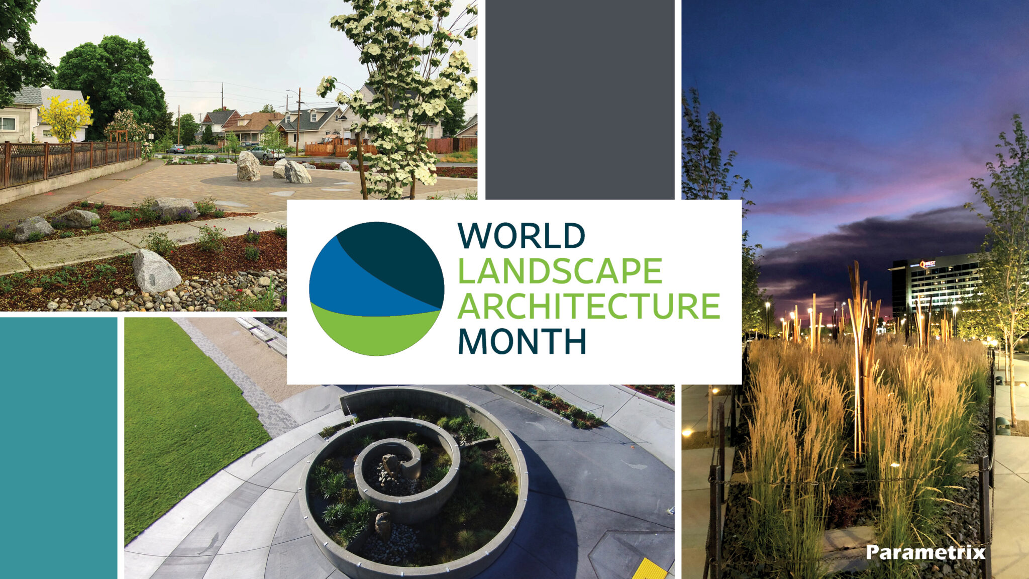

By Palmer Sandeno
Palmer is currently a Junior in the Landscape Architecture program at Washington State University. He has been interning with the Puget Sound Community Building and Landscape Architecture group at Parametrix for the last year.
3D modeling and photo-realistic visualizations can take a project from concept to reality. Showing stakeholders what a project will look like can help in the decision-making process and generate community support.
As part of my internship at Parametrix, I have helped several clients create renderings by taking a CAD base into a 3D modeling software such as Rhino or Sketchup. Which program we use depends on site-specific needs such as structure design or large open spaces. From there, I use a rendering software, such as Lumion, to apply texture, vegetation, and entourage to the site to breathe some life into it. We can use existing site imagery as a background to give context to what a completed project could look like.
Below are some examples of graphics created for our projects.

Depoe Hills Development | Hills of Depoe Bay, LP
Depoe Bay, OR
Depoe Hills is a new master planned community on the Oregon coast that will include 450 units, parks, community buildings, trails, and natural open space. The project is currently in the second phase of construction. Parametrix has worked closely with a design team of architects, landscape architects, surveyors, biologists, geotechnical engineers, project stakeholders, and the public to provide master planning, public agency coordination, civil design services, and construction management.

Vista Field Development | Port of Kennewick
Kennewick, WA
Parametrix is providing civil and landscape design for Division 1 of Vista Field redevelopment. This phase involves developing approximately 20 acres of abandoned airport into the roadway and utility infrastructure required for future building development. Visualizations were created for monument design concepts.

Willamina Transportation System Plan Update | Oregon Department of Transportation
Willamina, OR
Parametrix is leading a multimodal transportation plan for Willamina, OR, a smaller community in the Willamette Valley. The community has a strong desire for better cycling, pedestrian, transit, and trails infrastructure to reflect the changing travel preferences and behavior of Willamina citizens. Parametrix has established the preferred cycling and walking networks, urban design solutions for improving the main state highway that runs through town and created renderings of future improvements to aid stakeholder engagement. The team has also developed a specific funding plan and will soon start prioritizing investments so the city can hit the ground running with implementation. Visualizations will be used for community involvement and to help secure funding.

Orting Emergency Evacuation Bridge System | City of Orting
Orting, WA
The City of Orting is adding a bridge over SR 162 at Washington Avenue North to provide access to the Foothills Trail and serve as an emergency lahar evacuation route. The bridge will be a concrete, prestressed girder structure with full ADA access. The project is funded by state and potentially future federal funds. A visualization of the future bridge was created to aid in securing funding.

Green River Trail Extension | King County
Seattle, WA
This project will complete an important regional trail connection by safely linking the communities in south Seattle, including South Park, to the greater regional trail network. Parametrix is providing civil engineering design, environmental review and permitting services, and other related services to extend the Green River Trail from the City of Tukwila’s Cecil Moses Park north along the Duwamish Waterway, and connecting to the existing trail in south Seattle. The project is spatially constrained by adjacent infrastructure and land use as well as complicated river interactions.
This visualization was used for stakeholder discussion and decision making on how the trail could fit within a confined area with an adjacent one-way road. Ultimately, this particular design concept was not selected, but was very helpful in advancing the conversation.