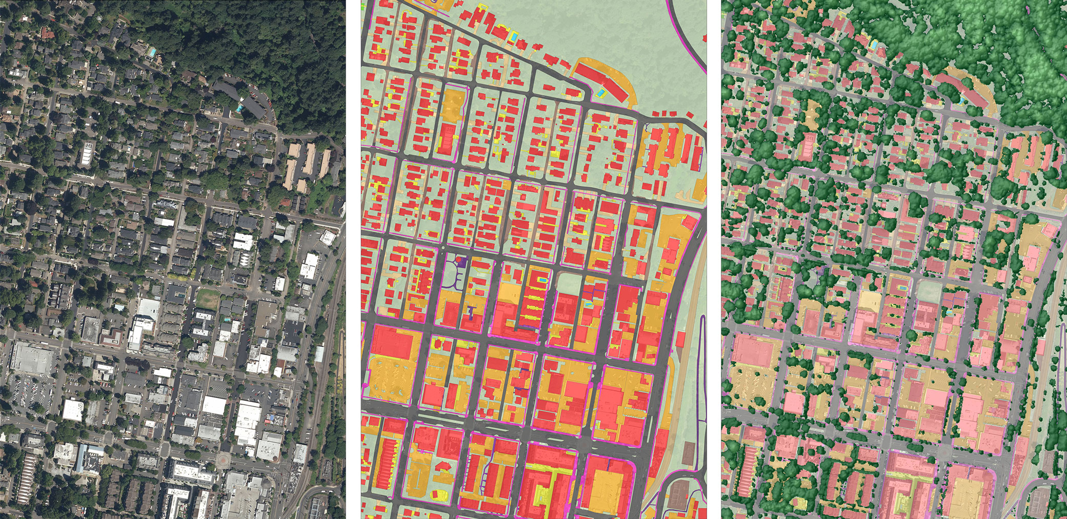
The City of Lake Oswego needed to update its Total Maximum Daily Load (TMDL) Implementation Plan to continue protection of its water resources and to meet state water quality standards. To help the City address the temperature component of the plan, Parametrix led GIS analysis. The team used the latest in Lidar and imagery to create a detailed canopy height model in ArcGIS. They also applied the Oregon Department of Quality’s modeling tools, including TTools and HeatSource, to quantify effective shade in stream corridors. The project analyzed effective shade differences from past and current canopy height models, and compared those to effective shade provided by canopy only within the riparian Resource Protection and Conservation areas of the City’s Sensitive Lands.