The Washington State Department of Transportation (WSDOT) completed a corridor planning study of I-5 between SR 121 in Tumwater and Mounts Road near DuPont to develop mid- and long-term strategies for improving the region’s transportation system. Strategies identified during the corridor study were further refined in the Planning and Environmental Linkages (PEL) study led by Parametrix. The PEL process is a collaborative and integrated approach to transportation decision-making incorporating community, economic, and environmental goals. This was one of the first PEL studies completed in Washington and was completed in just 9 months.
Parametrix is now completing a working with WSDOT to advance elements of the corridor study and PEL Study into a NEPA process along with the associated studies to support NEPA documentation. The PEL study provides logical sections of the I-5 corridor for improvements, allowing for multiple independent NEPA review actions. The work includes providing formal agency resource, tribal, FHWA, and public scoping meetings; preparing specific discipline reports and permitting matrix for the natural environment, overburdened communities, and built environment; along with ongoing stakeholder and public communications.
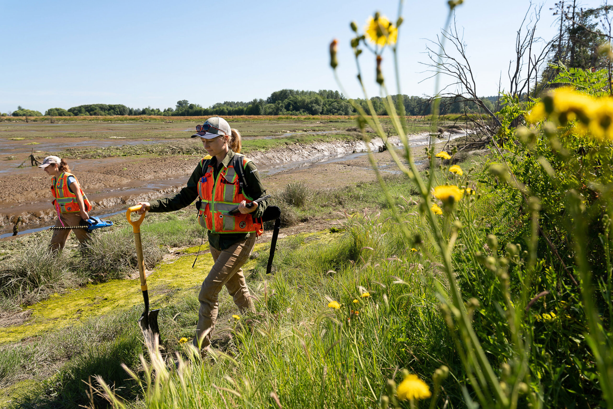
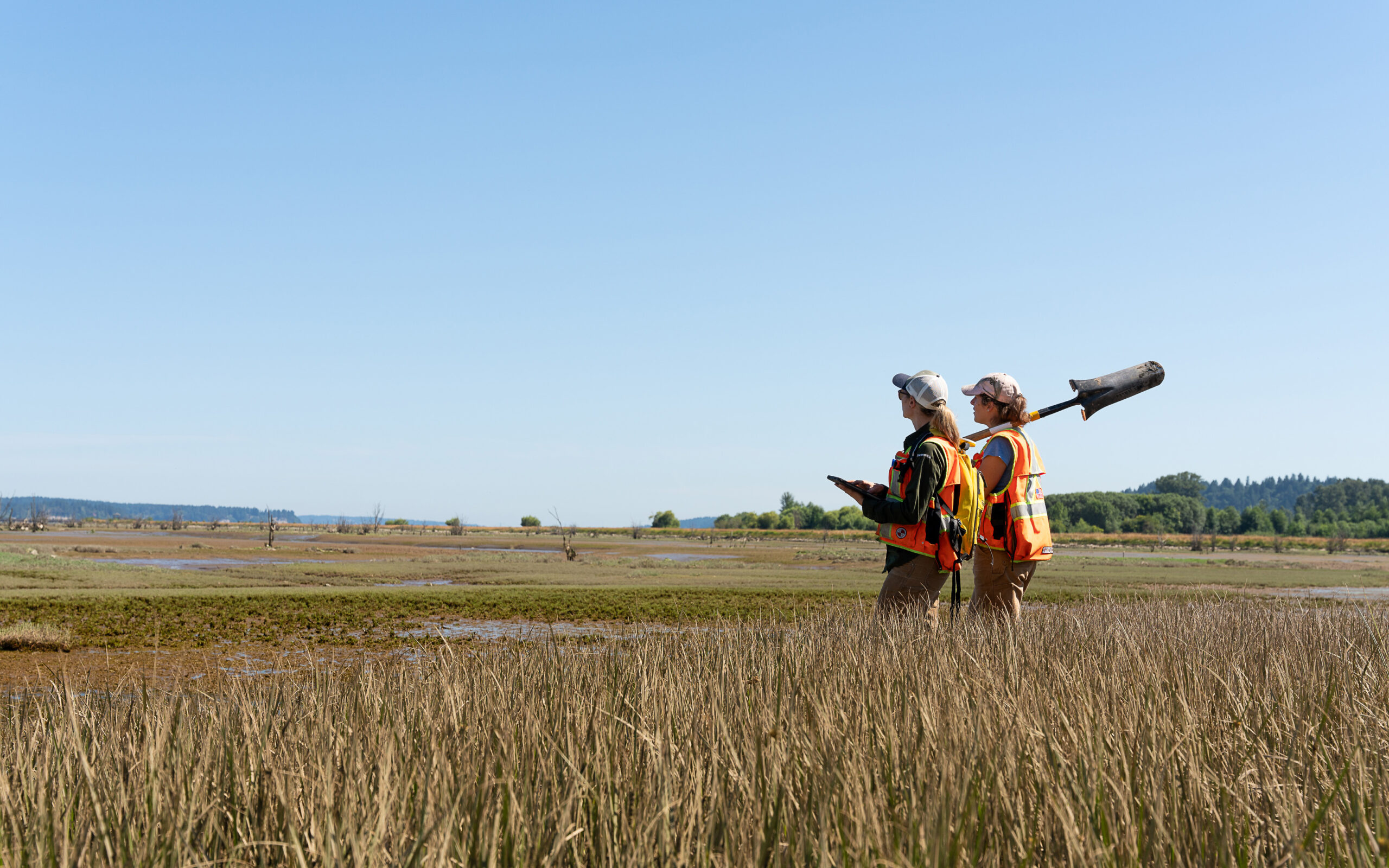
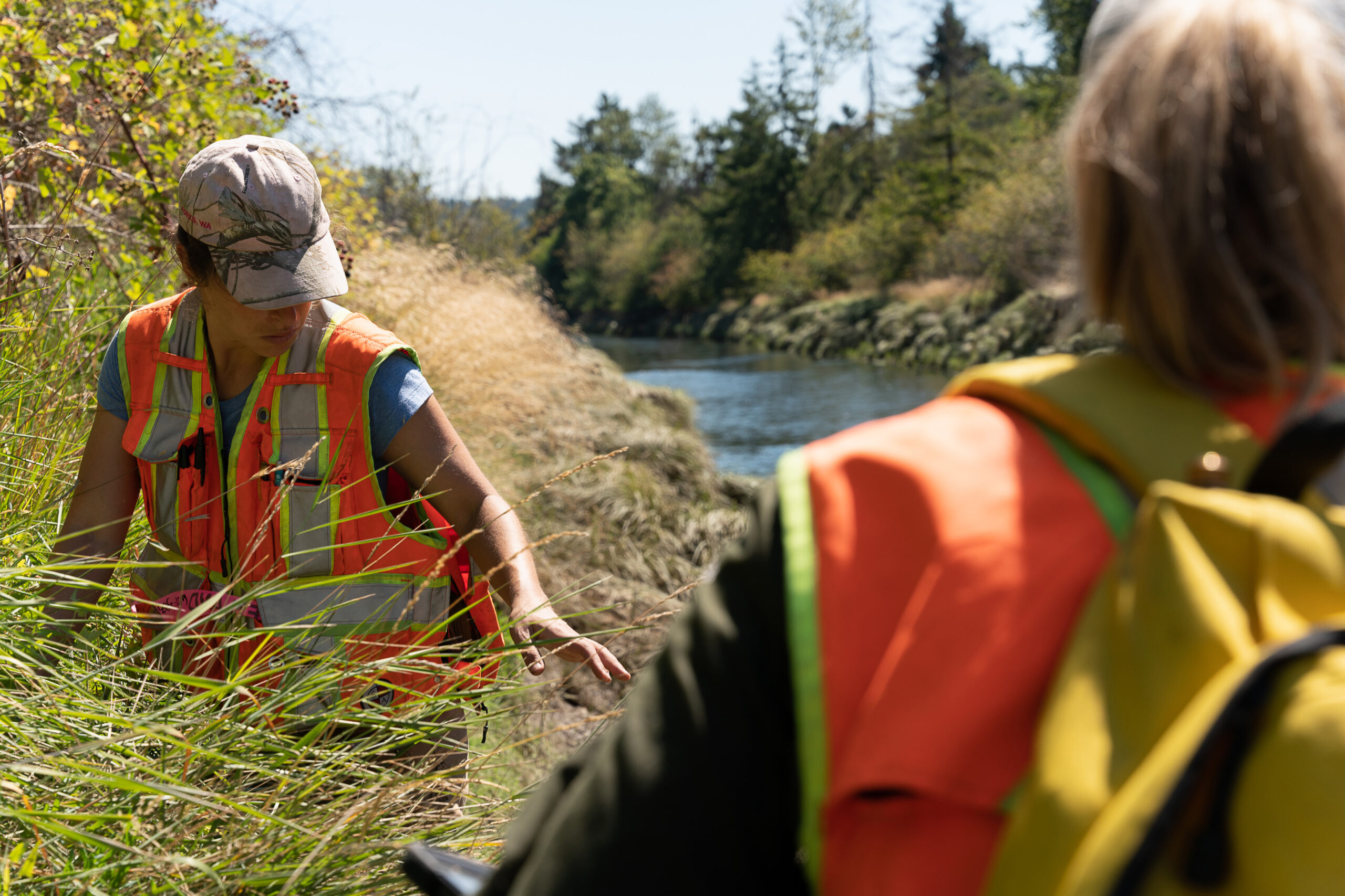
Parametrix is also leading the preliminary design of alternatives including a shared use path and expansion of the Nisqually River Bridge to restore the ecological connection between the Nisqually Wildlife Refuge and upstream areas of the Nisqually River. Removal of fill soils when I-5 was constructed will allow the Nisqually River to flow naturally without the risk of damage to I-5 causing a long-term freeway closure.
Photo credit: Arthur Ross