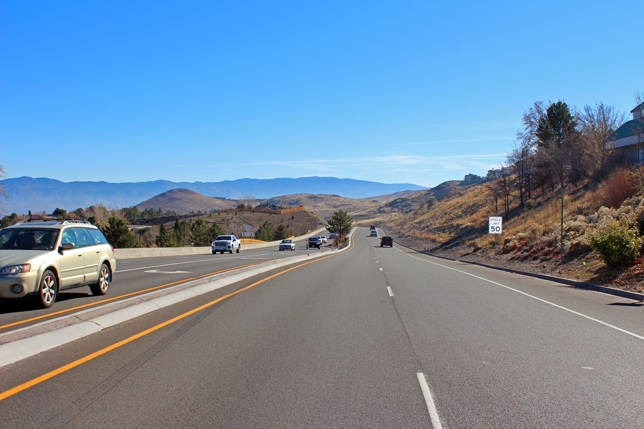
The Regional Transportation Commission of Washoe County, in coordination with NDOT, developed a comprehensive plan for the future of McCarran Boulevard, a 23-mile ring road encircling the Reno-Sparks urbanized area. This corridor suffers from a bit of an identity crisis in terms of how it should operate now and into the future. There is no one-size-fits-all solution for this diverse corridor, necessitating the need for an in-depth analysis of existing conditions, including safety, congestion, access control, multimodal accessibility, land use, and projected growth.
The existing conditions analysis was used to identify a set of key issues and opportunities to be discussed and potentially addressed in subsequent stages of the project. It also highlighted important topics to discuss with project stakeholders and incorporate in public outreach materials. The Parametrix team used ENGAGE, our virtual public meeting tool, to present information and interact with residents. Use of this platform allowed seamless integration with other interactive elements, such as an online comment map, a survey, and an ArcGIS Story Map site. This combination of tools provided a unique, fun, and efficient community outreach strategy that effectively engaged hundreds of area stakeholders and residents.
The project team used a combination of technical analysis and community/stakeholder input to identify different types of transportation needs. The end result of the study was a prioritized set of recommendations to help the corridor operate more safely and efficiently, and better meet the community’s vision.