By Griffin Harger
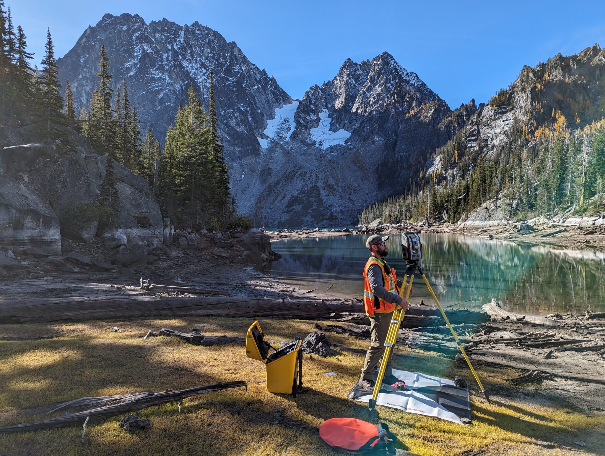
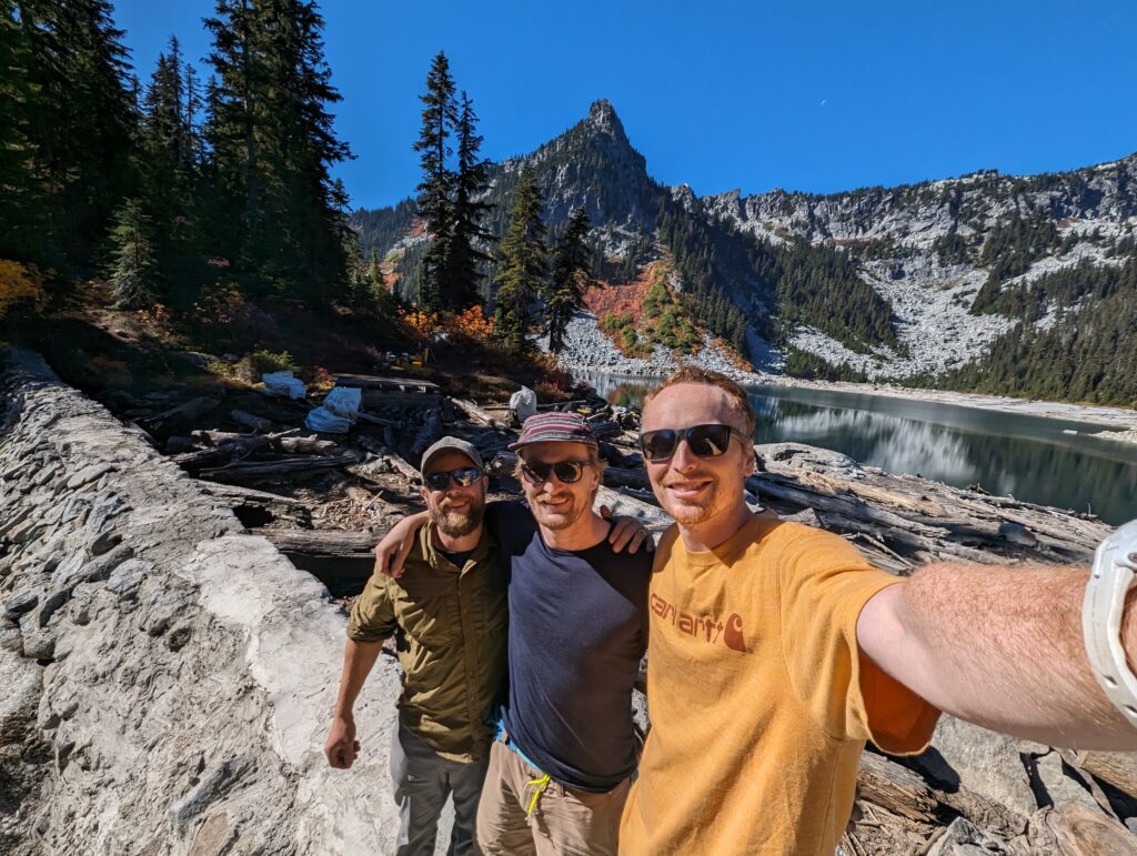
In early October, a group of Parametrix surveyors, including Josh Kelly, Cale Simanskey, and I, embarked on an amazing survey mapping project within the breathtaking Alpine Lakes Wilderness area of the Cascades Range in Eastern Washington State.
Our mission was to map the infrastructure and immediate surroundings of three century-old Alpine Lake dams constructed during the New Deal era. These dams, used to manage Icicle Creek’s flow levels during summer months, posed a unique challenge requiring detailed data for maintenance, repairs, and modernization. Currently, the Icicle Peshastin Irrigation District staff has to take a helicopter flight to each dam to manually adjust the flow gates several times per year. The data collected will provide detailed existing conditions information to support the design of automated flow gates.
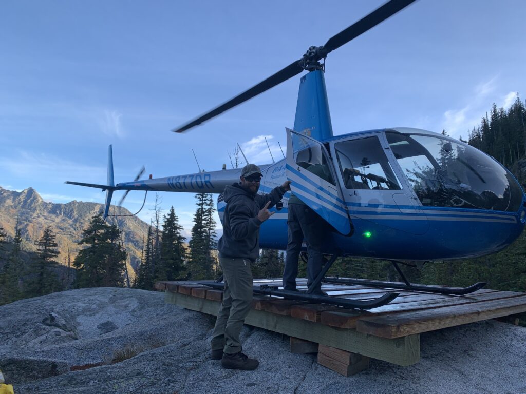
A helicopter flight was required to access the dams.
To carry out this task, the Parametrix survey team used conventional survey techniques and our new drone-mounted LiDAR capability. The lakes surveyed included Colchuck, Klonaqua Lower, and Square Lake. To reach these lakes with all our survey equipment we used a helicopter provided by the irrigation district. Four to five “laps” were required per destination to ferry all three of us and our equipment safely to the project site.
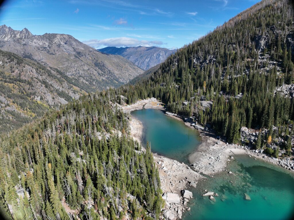
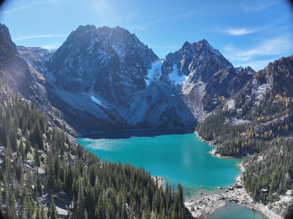
While the first day threw a curveball with a low cloud deck that prevented the helicopter from reaching the lakes, the second day gave us beautiful weather. With larches yellowing in full force we were in for a spectacular show! Camping overnight at each lake was our strategic move, minimizing travel time, helicopter trips, and maximizing work hours.
Tuesday through Friday was spent camping one night at each of these three lakes. We had the special chance to visit some of the most remote lakes in the Alpine Lakes wilderness area. In fact, we did not see a single other person at Square and Klonaqua but Colchuck was busy with inquisitive Enchantments hikers.
We designed a unique project plan and delivered a high-tech hybrid survey product the client was thrilled with. This project stands as one of my favorite projects I have worked on, and I am looking forward to many other exciting doors that our new drone-mounted LiDAR technology will open for us.