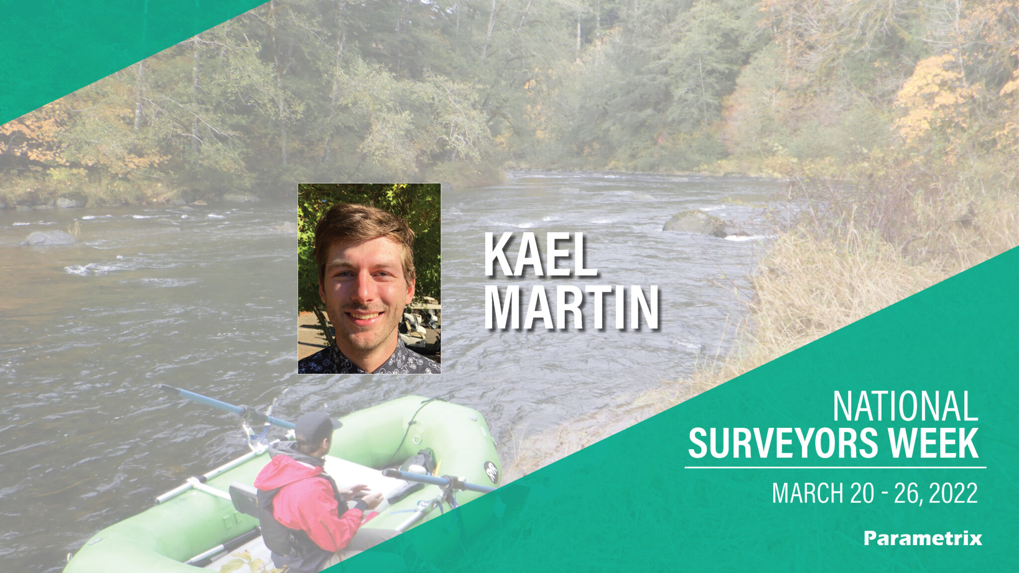

Kael joined Parametrix as part of the addition of Pacific Geomatic Services in 2021. He is based out of our Mukilteo, WA office and has 7 years of industry experience.
What inspired you to become a surveyor?
My inspiration to become a surveyor stemmed from my love of the outdoors and the natural world. I am passionate about water resources and hydrology, specifically catered towards habitat restoration including salmon habitat improvements, dam removals, and dechannelization efforts of floodplain management. Hydrographic surveying allowed me to contribute to those causes while spending more time physically in and around rivers, lakes, and the ocean. I was enchanted by the avenues for exploration and the opportunities to travel to unique places for work. I greatly enjoy logistics and problem solving, which mapping and surveying provide on a daily basis. I spend a great amount of my spare time whitewater rafting, flying fishing, hiking, and adventuring – I am fortunate to be able to do very complementary types of activities at work.
What is your favorite part about being a surveyor?
As I learned more about the field of surveying and became more integrated in the office work, I found there was another facet of survey which involved endless opportunity for critical thinking, lifelong learning, and complex problem solving. I have always promised myself that if I stopped progressing or being challenged in my career that it would be time for a change. I work on such a wide variety of projects that engage so many different types of thought processes and analysis, that becoming stagnant has never been a concern. I love data management, analysis and presentation, processes automation, and learning new software and technologies. I have been fortunate within the field of survey to be involved with spearheading a variety of new service offerings, developing novel methods and procedures for built-in QA/QC analysis, and pushing the limits of computing power to process and work with enormous data sets. There is a great balance of working with colleagues as well as focused independent thinking and productivity. The most satisfying projects involve field to finish solutions, where I am responsible for field data collection on unique projects, then bring it back to the office for analysis and deliverable creation. The opportunity to have a hybrid field and office work balance makes each day special.
Tell us about a favorite project you have worked on in your career.
There are many to choose from, but back in 2018, following the 2017 Jack Creek Fire in the Alpine Lakes Wilderness in Eastern Washington, heavy spring runoff caused the small masonry dam on Eightmile Lake to overtop.

This situation created the potential for failure threatening everything downstream within the drainage. We were tasked with providing emergency survey services. Early on in the project, crews were flown in by helicopter, which was a unique opportunity within itself. But my favorite component of the project involved hiking into Eightmile Lake and the surrounding area with equipment to perform static GPS observations to support aerial photogrammetry collection. I was given a selection of rough ‘desired’ positions to collect the observations all over the greater Eightmile Lake basin. I hiked, scrambled, and boulder hopped off-trail to these different locations to collect data and perform mapping. That was a fantastic project.
What advice do you have for the next generation of surveyors?
It is a very unique field that currently has a tremendous demand for new talent. I would strongly recommend obtaining a technical degree at either a two-year or four-year institution to build a strong toolbox to pull from in your career. Set yourself up to take your fundamentals of surveying exam early in your career while the information from school is still fresh in your head. Aim toward earning your Professional Land Surveyor (PLS) license, as the industry greatly needs more licensed surveyors. In general, the field is rapidly advancing and the capabilities of remote sensing are always improving. Surveying and geomatics should really be thought of as a technology rich field with endless opportunities for innovation and creativity.