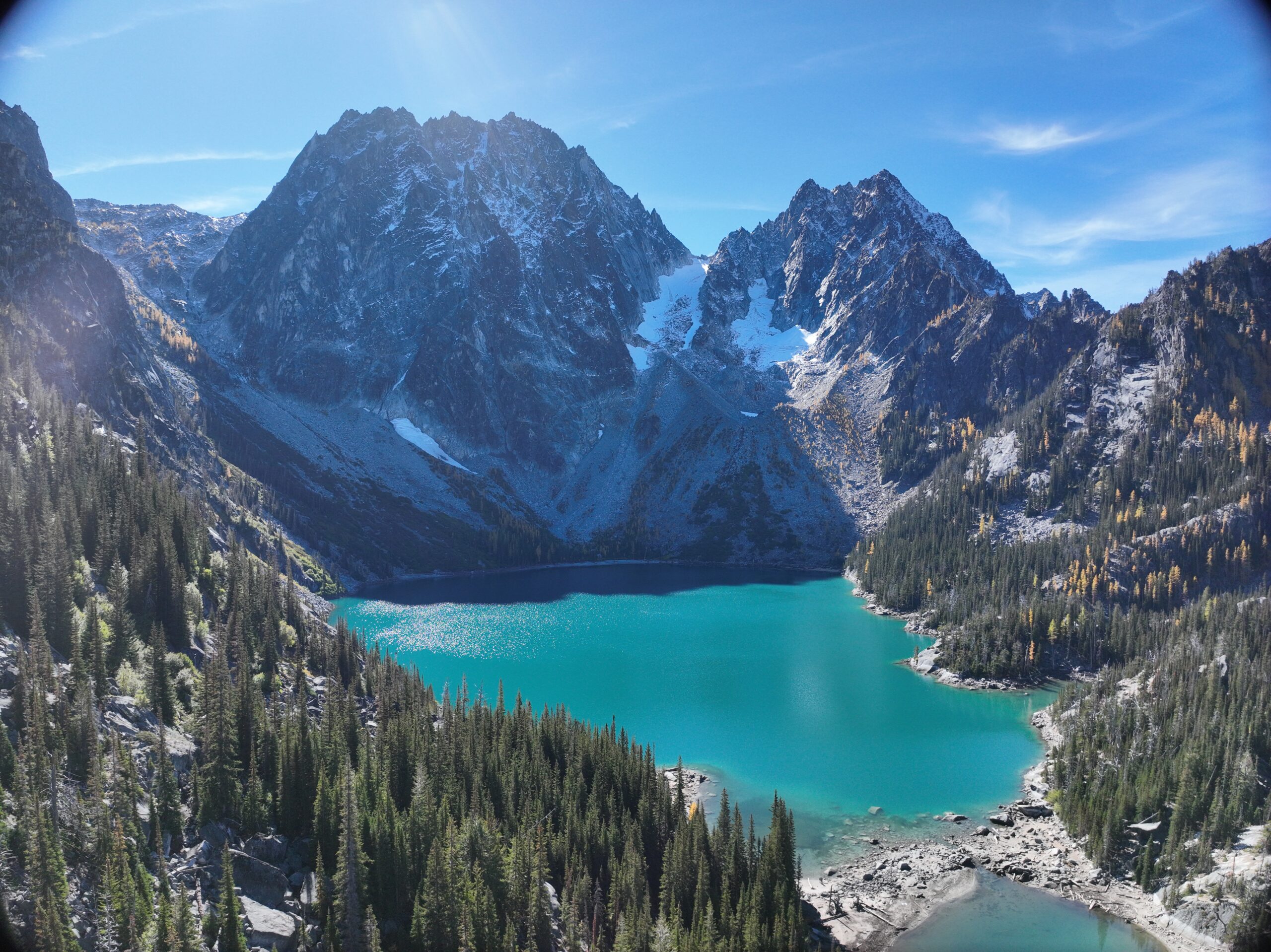
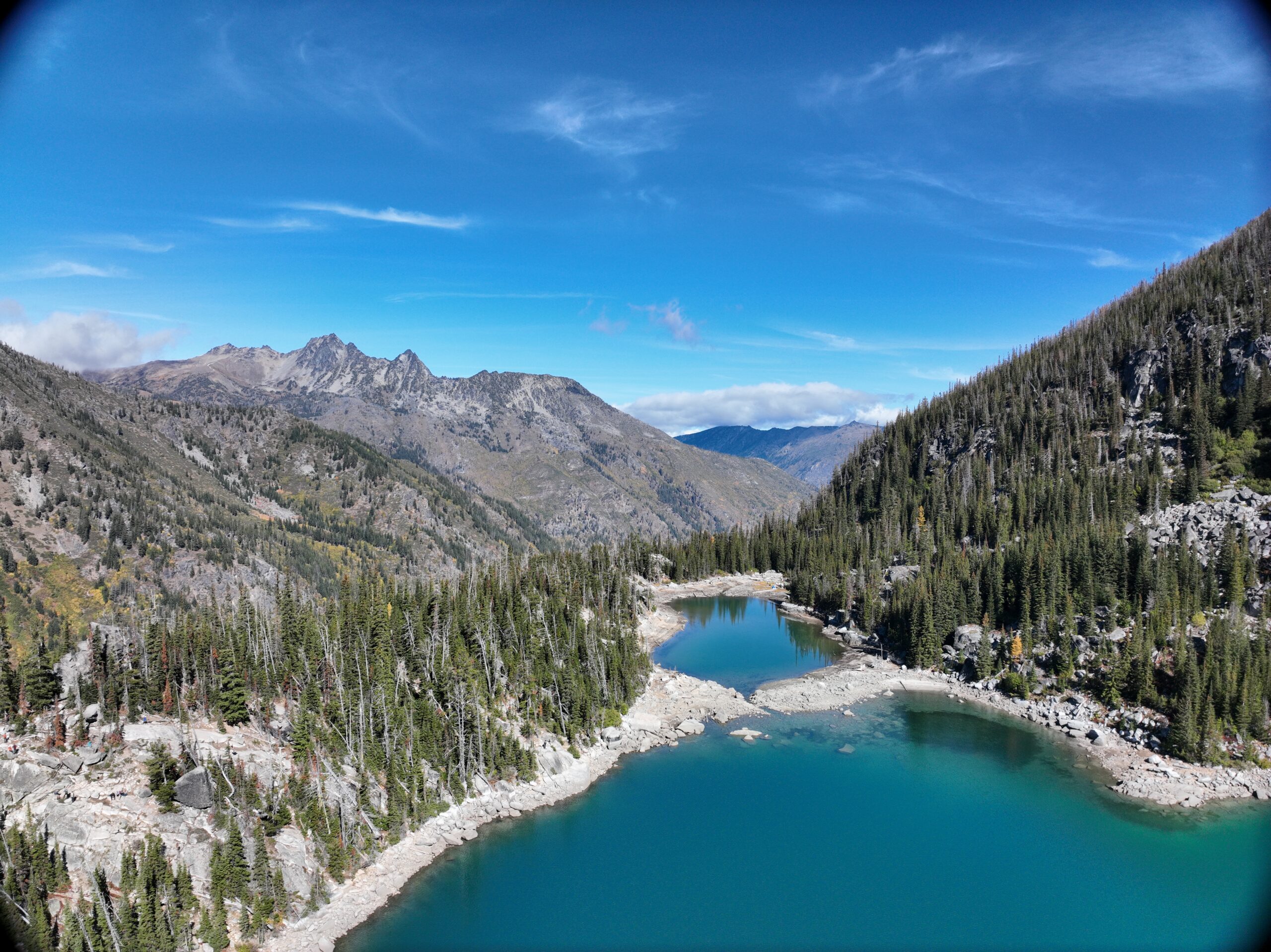
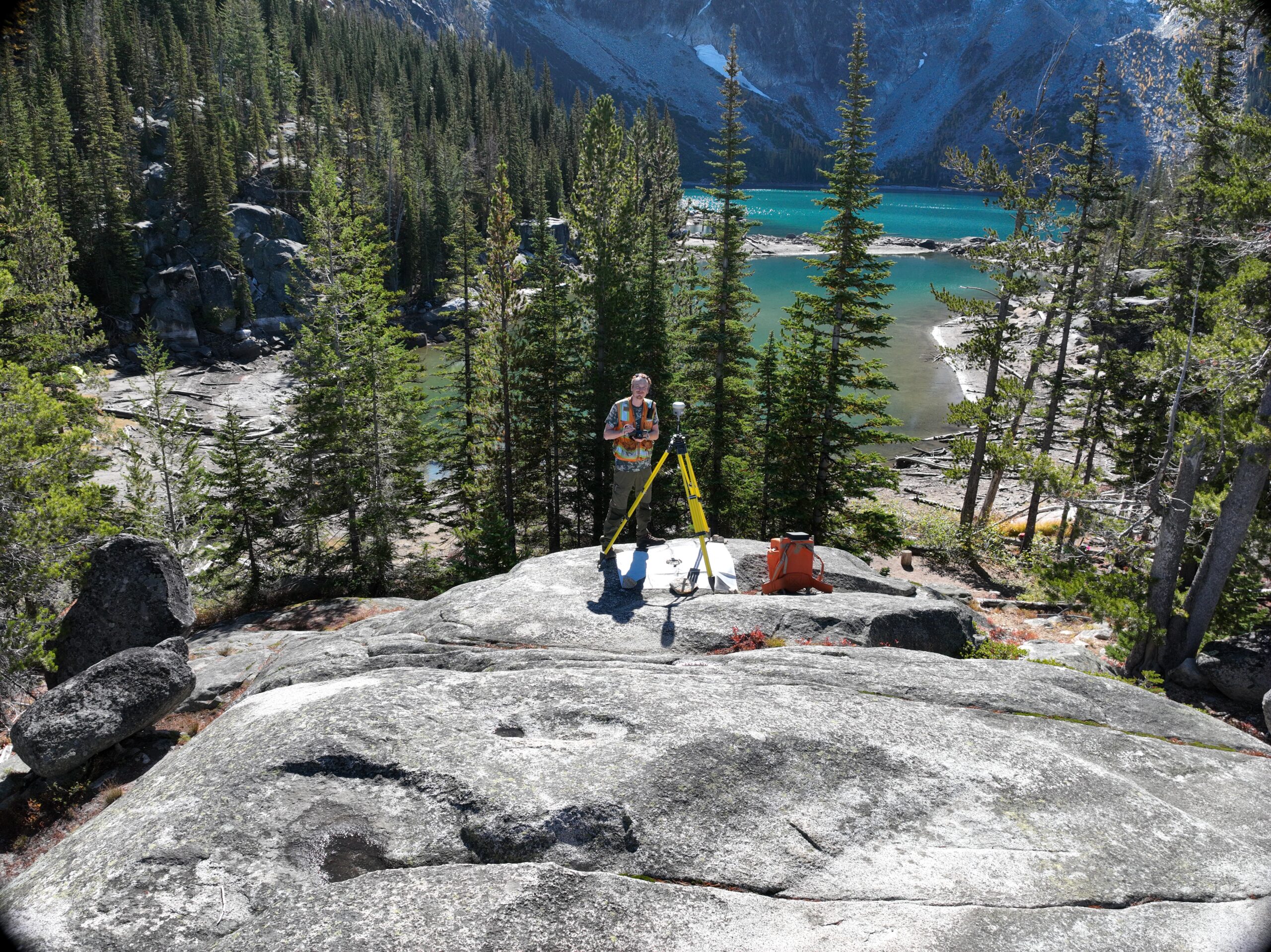
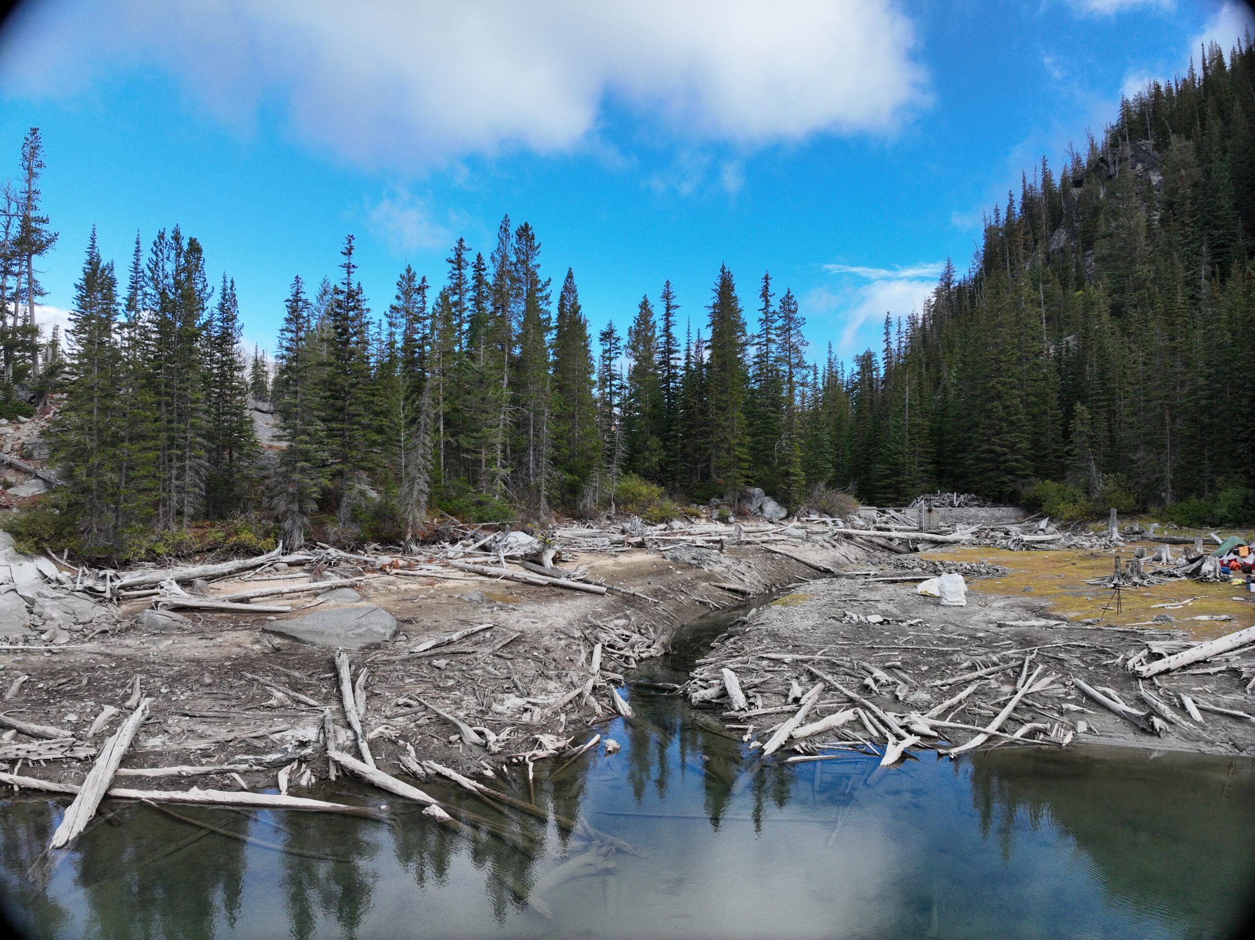
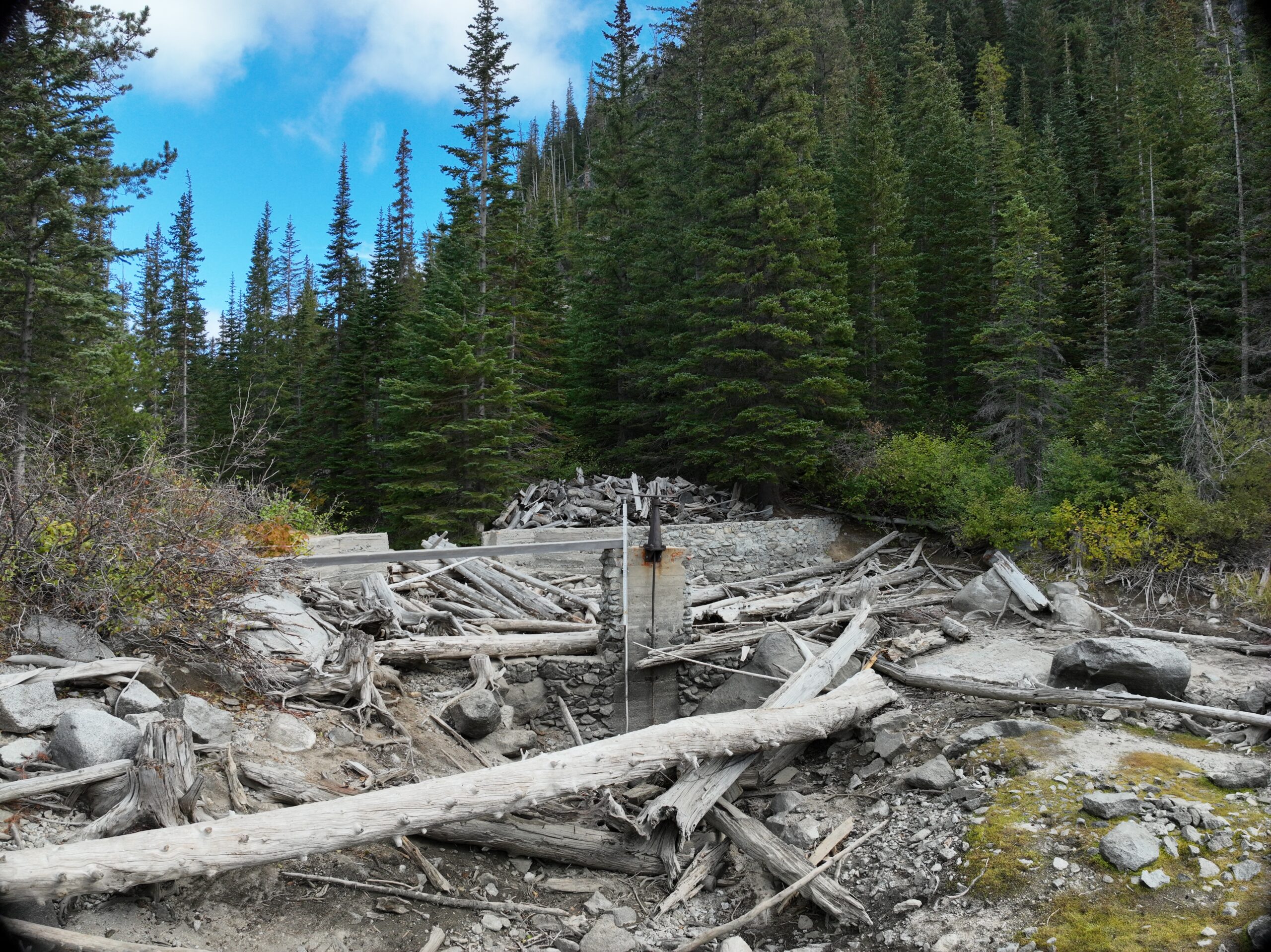
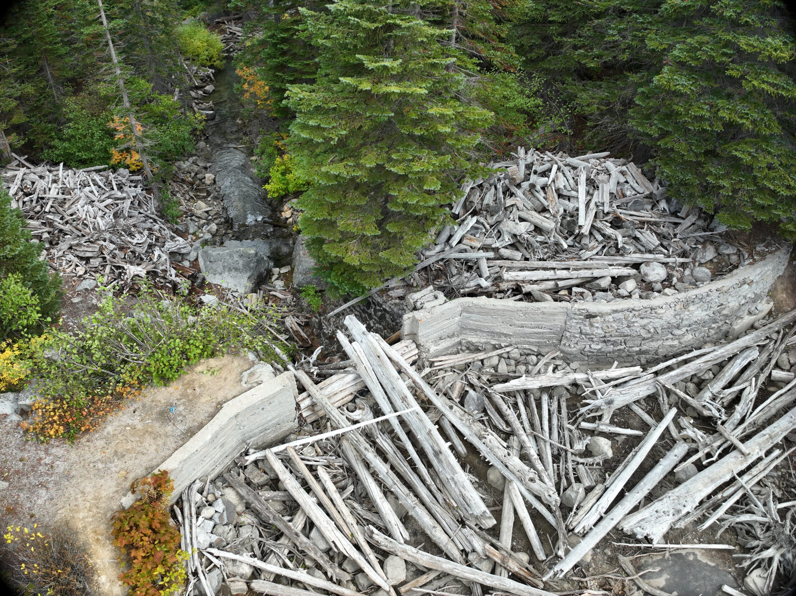
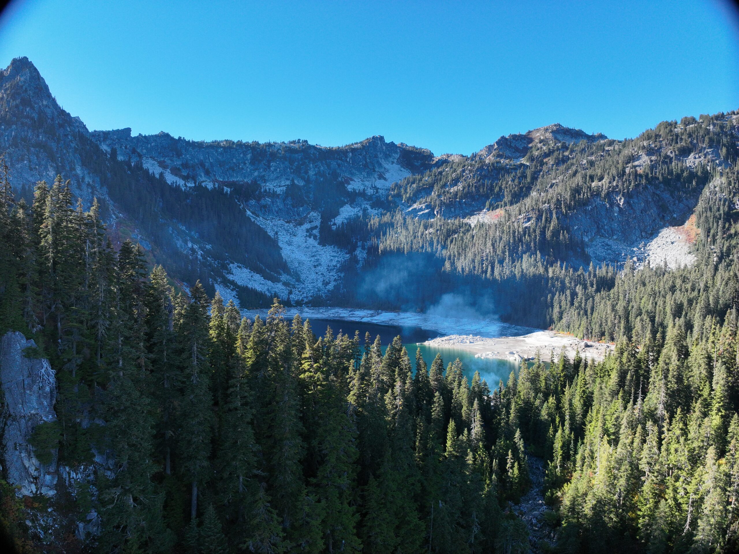
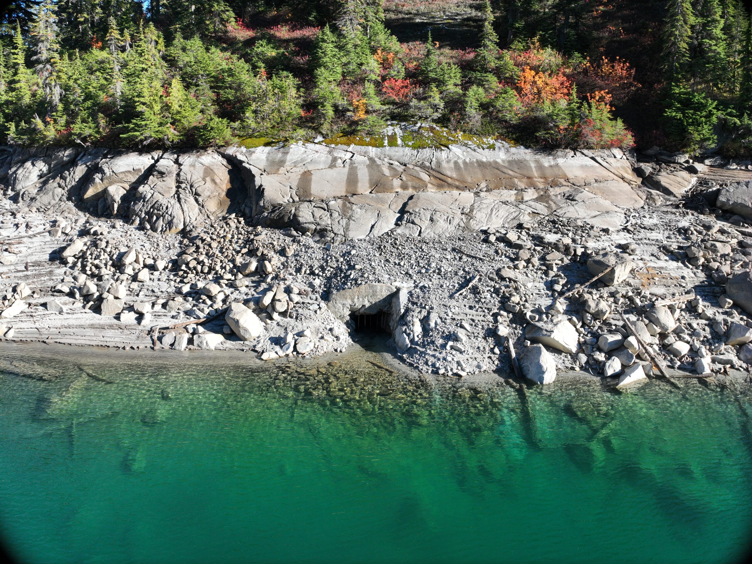
Parametrix mapped the infrastructure and immediate surroundings of three century-old Alpine Lake dams constructed during the New Deal era. These dams, used to manage Icicle Creek’s flow levels during summer months, posed a unique challenge requiring detailed data for maintenance, repairs, and modernization. Currently, the dams must be accessed by helicopter several times per year to manually adjust the flow gates. The data collected as part of this project provides detailed existing conditions information to support the design of automated flow gates.
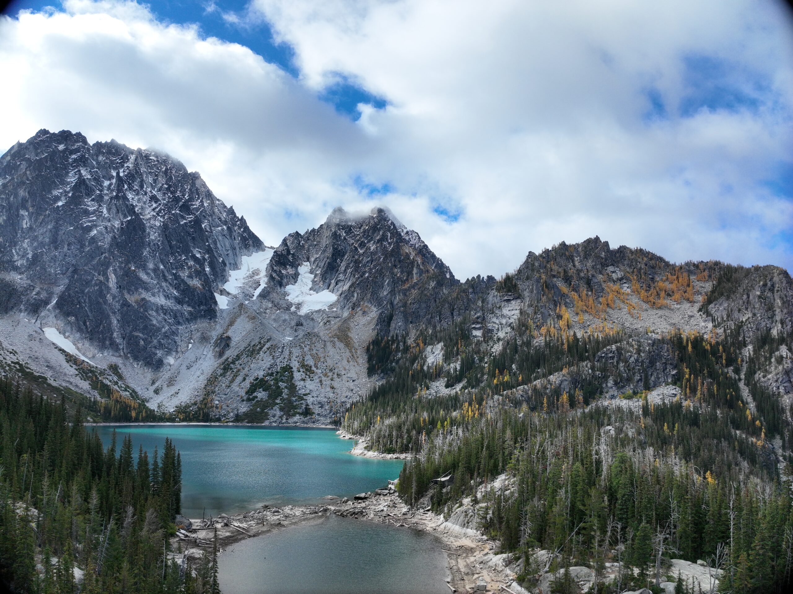
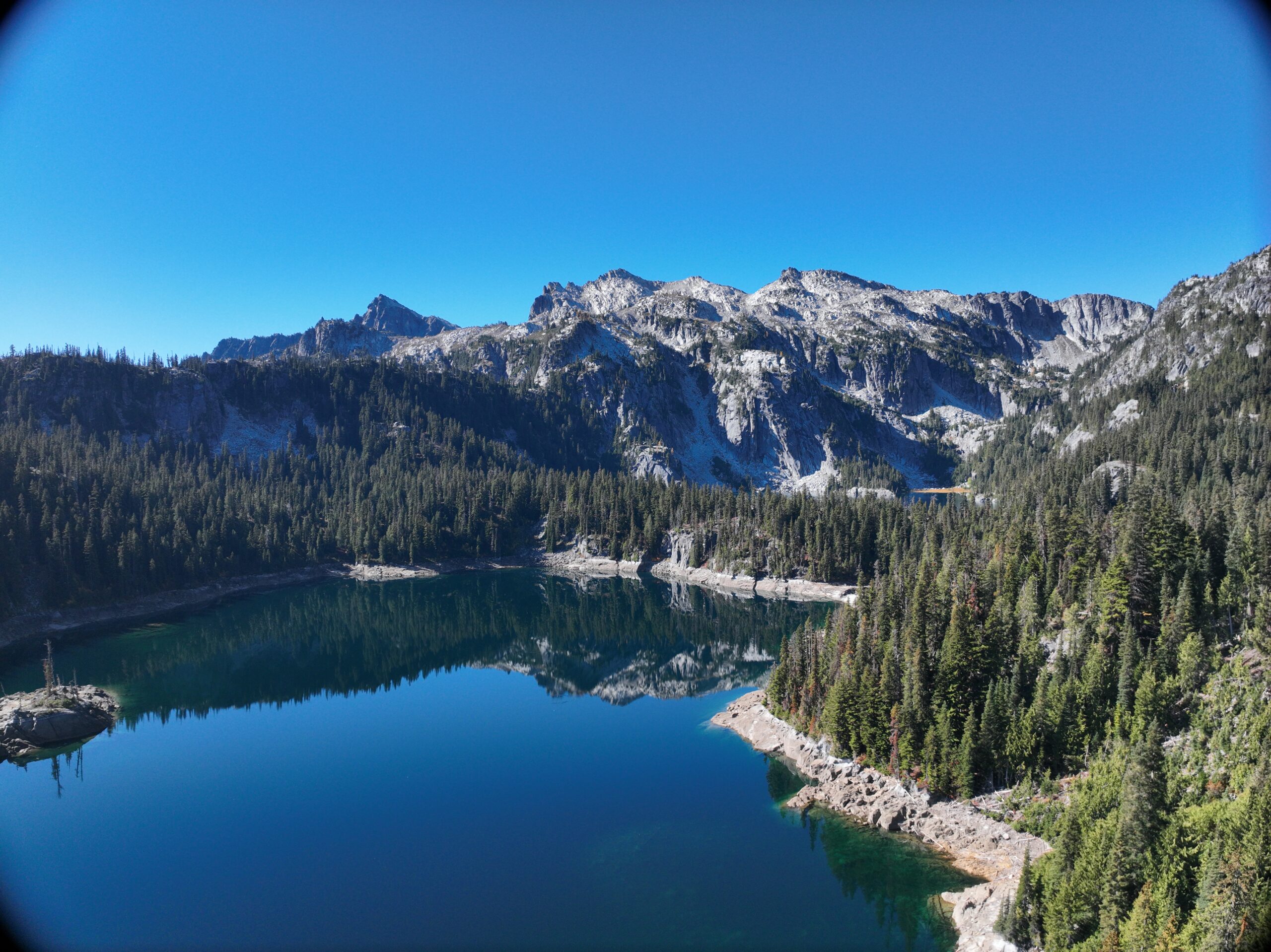
Our survey team accessed the Colchuck, Klonaqua Lower, and Square lakes by helicopter to conduct the survey, using conventional survey techniques and drone-mounted LiDAR technology. Parametrix designed a unique project plan and delivered a high-tech hybrid survey product for the client.
Read the blog: https://www.parametrix.com/surveying-the-alpine-lakes-wilderness-area/