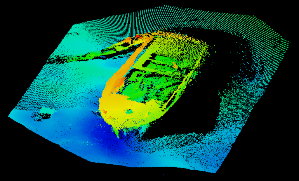
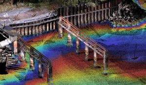
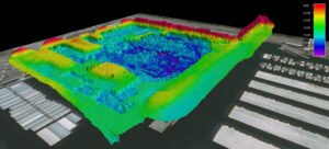
Parametrix’s bathymetric mapping programs cater to a variety of watercourse and aquatic conditions, including shallow and swift rivers, large rivers with remote access, ponds and lakes with and without vegetation, river deltas and marinas, and near-shore ocean. We specialize in high-resolution hydrographic data collection and seamless multi-source data mergers, including bathymetric data, traditional survey data, terrestrial, and aerial LiDAR, as well as aerial photogrammetry geographic information systems (GIS).
Parametrix uses cookies to personalize and improve your user experience. If you continue to use this website, you will be providing consent to our use of cookies.Privacy Policy