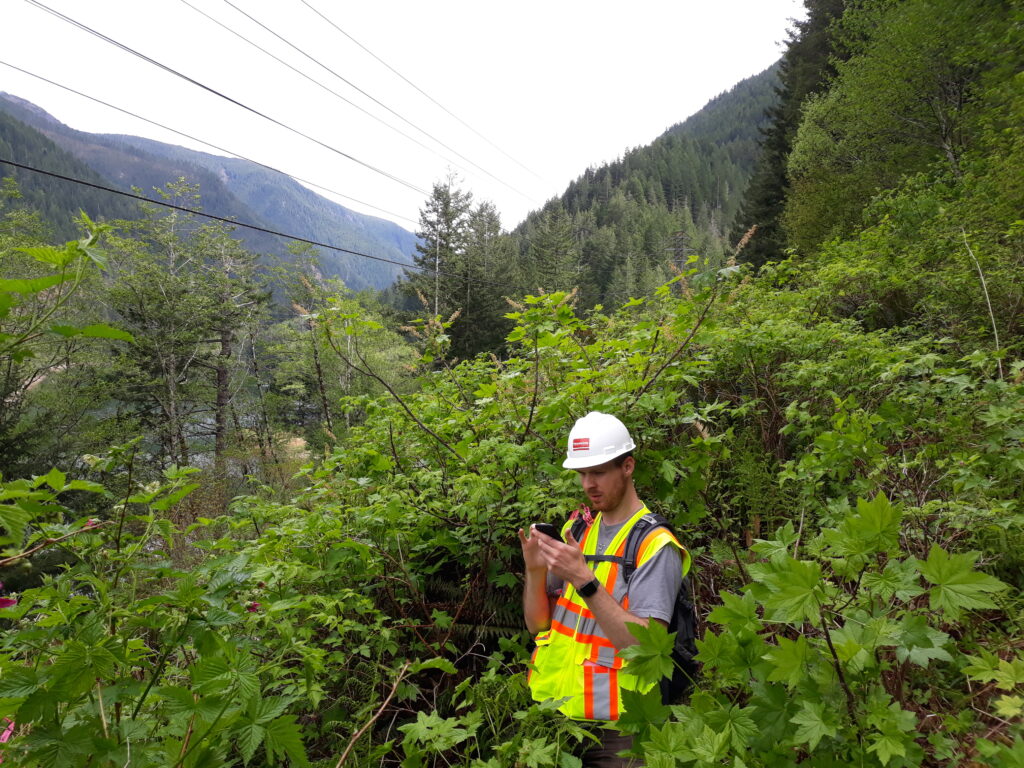
Our geographic information specialists push the boundaries of data and analytics, delivering user-friendly information to help you make decisions and inform the public. From data collection and processing to analysis, visualization, and custom tools, we are adept at developing innovative solutions that add value. Whether you need support for a small field data collection, mapping exercise, or a statewide solution for enterprise data management, our GIS specialists have the experience and expertise to provide the right solution, efficiently.
Our team of technicians and analysts support transportation, land use, environmental planning, development, sustainability, and utility projects with both 2D and 3D solutions for the desktop and the web. With a constant eye on innovation, we can provide solutions and consultation for cutting-edge technologies like augmented reality, web-based asset management, and GIS-based digital twins. We are an ESRI Business Partner and have been recognized as one of a handful ArcGIS Online Specialty providers in the western United States.
Parametrix uses cookies to personalize and improve your user experience. If you continue to use this website, you will be providing consent to our use of cookies.Privacy Policy