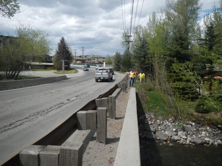
Surveying has been a core business offering of Parametrix since we were founded in 1969. Our surveyors have built a reputation for quality service by providing innovative and accurate solutions. We aim to increase efficiency and to bring the best solutions to project challenges, while always maintaining a safe working environment.
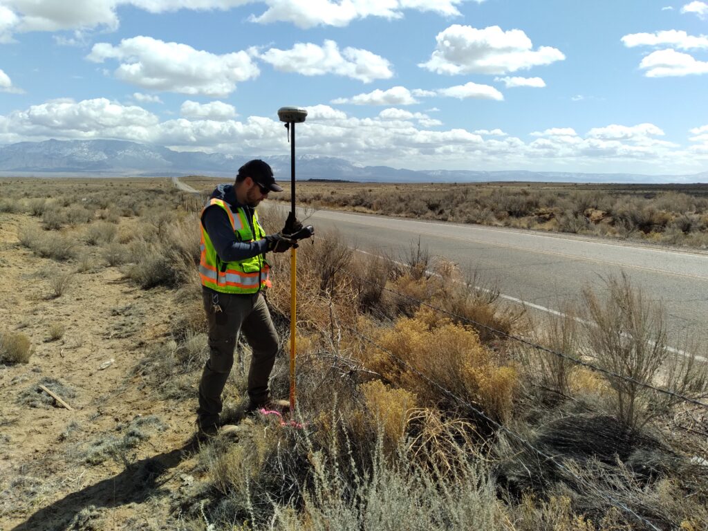
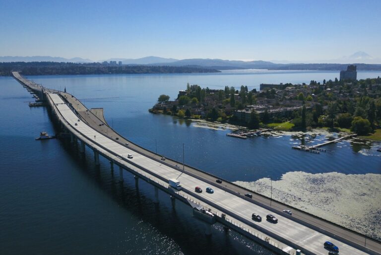
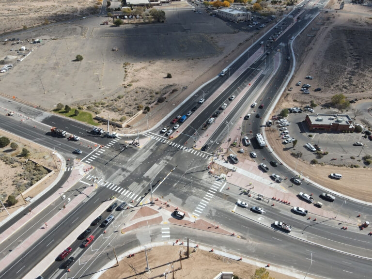
Parametrix survey crews are equipped with the latest in cutting-edge survey technologies and employ these tools in the safest possible manner with minimal impacts to the public. Our technical tools include the latest in global positioning system (GPS) and 3D laser scanning equipment, a cutting-edge unmanned aerial vehicle (UAV) program with regulatory authorizations in place, an industry-leading multi-beam hydrographic system, robotic total stations, data collectors, and computer software for producing a wide range of processed data products and electronic mapping.
Parametrix uses cookies to personalize and improve your user experience. If you continue to use this website, you will be providing consent to our use of cookies.Privacy Policy